
Buckhall Neighbors Around One Address
Buckhall is a Prince William County census-designated place, so county and state custodians supply the usable block-level sources. Start with the parcel, not an assumption based on a Manassas mailing label. County Mapper can locate land around an address and identify adjoining results. The assessment record adds ownership and legal-description context. Recorded deeds may explain a transfer. Election material is useful for precinct geography, but Virginia does not provide an unrestricted voter roster for a block. Each source answers a different question.
| Source | What It Shows About a Block | Access |
|---|---|---|
| County Mapper | Parcel geometry, GPIN, map layers, adjoining parcels, and service-geography context | Public web GIS; informational, not a survey |
| Real Estate Assessments | Property description, ownership, sales, legal description, and assessment context for a parcel | PublicAccessNow portal |
| Circuit Court Clerk | Recorded deed and plat trail that can explain ownership changes | Online index and image routes, plus clerk research and copy access |
| Virginia election resources | Individual self-service status and polling-place or district context | Citizen Portal and local Office of Elections, with voter-data restrictions |
| RELIC and oral-history sources | Historical community, map, newspaper, yearbook, and family-context leads | Library and local-history research routes |
Ownership and occupancy must remain separate. An assessment record can identify an owner of record and may display a mailing address, but neither item establishes current household membership. A historic directory, map, or oral-history reference can add context for an earlier period without turning it into a current-contact record.
Note: A Manassas postal label is not proof that a parcel belongs to the incorporated City of Manassas.
Buckhall Neighbors Start With a Parcel
Use Prince William County Real Estate Assessments to find the present parcel identity. Its public portal has separate Quick Search, Address Search, GPIN/Account Search, and Sales Search paths. An address search can find the parcel. The GPIN or account number is the more stable key for joining assessment data to GIS and older land research. Preserve the property address, owner display, legal description, GPIN, assessment year, map link, and source date.
The GPIN is a county-specific ten-digit identifier arranged in a proprietary grid. A historic deed may not use a current street address, while its lot language or legal description can still be connected to the present parcel. Do not flatten an owner mailing address into the property address. The distinction is especially important where a Buckhall address uses Manassas as a mailing city.
- Parcel
- A unit of land identified for county mapping and assessment purposes.
- GPIN
- The Prince William County parcel identifier used to connect assessment and map research.
- Legal description
- The recorded lot, subdivision, parcel, or boundary wording that identifies land beyond a street address.
- Adjoiner
- A parcel that touches or borders another parcel in the map result.
Map Buckhall Neighbors by Adjacent Parcel
County Mapper accepts a full or partial GPIN, street number and name, an address with unit, intersection, coordinates, or a selected layer. Results can zoom, highlight, remove, and list adjoining parcels. Use it to work outward from one confirmed parcel. The result is a geographic research aid, not a legal survey, and map lines can fail to align with aerial imagery.
- Search the confirmed address or GPIN and record the source date with the selected parcel.
- Use the adjoining-parcel result to create a short list of touching parcels rather than guessing from nearby street numbers.
- Open each parcel result and record its GPIN, property address, legal description, and owner-of-record display separately.
- Compare a suspicious boundary or older address against the deed or plat trail before treating it as the same parcel.
- For a longer named-street record chain, use the Buckhall street directory rather than extending one block search into a whole-street conclusion.
The Mapper’s More Info path can add schools and voting precinct or polling-place context. Those layers describe geography. They do not show school attendance, establish residency, or create a resident list.
Buckhall Neighbors in County Mapper
County Mapper has layers for land records, land development, public services, service areas, environment, utilities, contours, basemap, and several aerial-imagery years. Its identify and measure tools can help distinguish a parcel that touches the starting parcel from one that is simply nearby on a map. A buffer or measurement is useful for describing a small research area, but it does not change parcel boundaries or prove a relationship between households.
For each selected parcel, compare the map result with the assessment card and, when necessary, the recorded land reference. The map is most useful when it is paired with the GPIN and legal description. That pairing also avoids a common Buckhall error: treating a postal city, precinct, ZIP range, CDP boundary, and parcel boundary as though they were the same geography.
County Mapper can display a 1937 aerial layer among its historical context tools. Preserve the image date and use the aerial to understand roads or land context, not to read legal parcel lines from an image.
Note: Record the map-query date because assessment years and GIS layers can change after a search is saved.
Buckhall Neighbors and Recording Alerts
For a parcel you already have a lawful reason to monitor, the Circuit Clerk’s Property Alert System offers a record-change notice rather than a list of people around an address. The April 2025 county alert resource can send an email containing a document type, reference number, recording time, and a link when a parcel or owner-name keyword is recorded. Confirm the document itself through the Clerk’s land-record route before relying on an alert as proof of a transfer or interest.
The Clerk’s Property Alert System is the source of the image below.
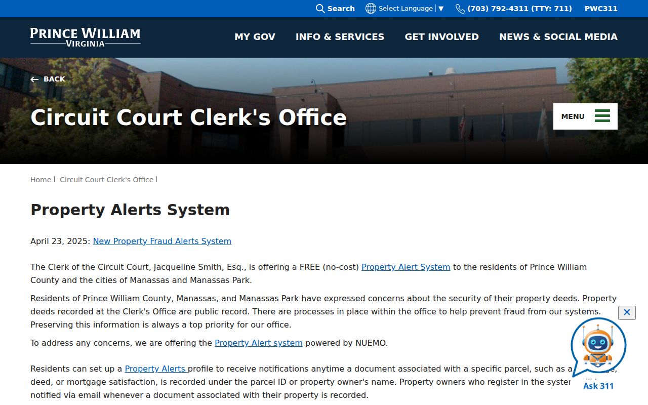
An alert is a prompt to review an official recording. It does not establish occupancy, confirm a personal identity, or replace a deed and parcel comparison.
Be alert for look-alike payment messages. Prince William County’s June 2026 warning says official county email ends in @pwcgov.org and the county does not request wire, card, or ACH payment by email. Navigate to the official county address independently before paying for a record or answering a request.
Buckhall Neighbors in Precinct Context
The Virginia Citizen Portal is designed for an individual’s registration, polling-place, district, absentee, status, and voting-history questions. It is not a public block roster. The local Office of Elections maintains registration and election records, while statutory restrictions govern voter-list requests and protect several fields. Use the Citizen Portal for an individual’s own record or correction path, not for a general search of Buckhall neighbors.
County Mapper’s More Info result and the official election map can provide civic geography for a confirmed parcel. The Buckhall precinct is shown in Coles District, with Buckhall United Methodist Church identified as the polling place. That information describes election service geography. It does not prove that every nearby address lies within the full Buckhall CDP boundary.
The Office of Elections is the source of the image below.
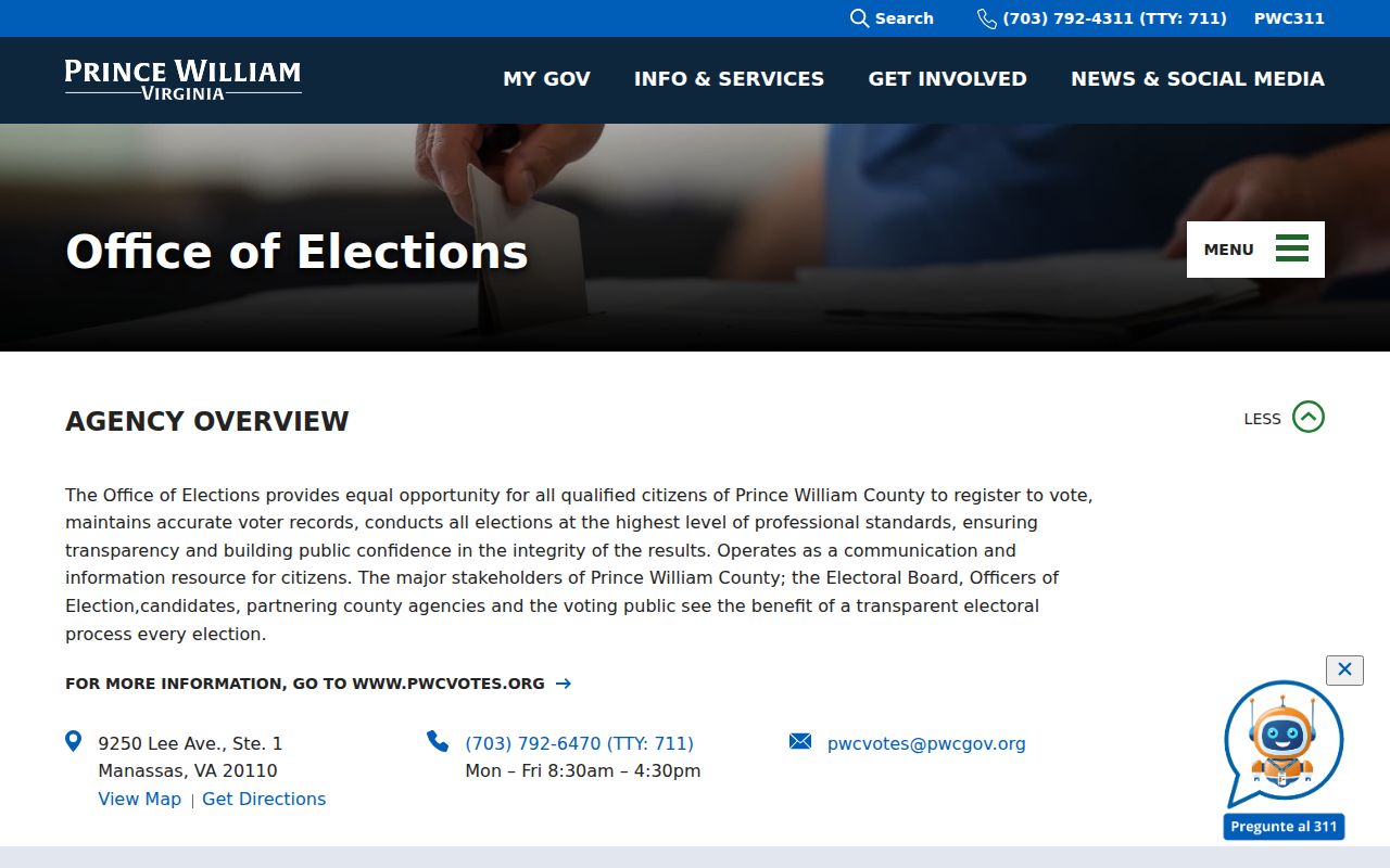
The office provides the official correction and election-record route when a person needs help with their own registration information.
Buckhall Neighbors: Civic Anchors, Not Rosters
No official Buckhall neighborhood-association inventory was located. That gap matters. Do not assume every subdivision belongs to one association, and do not invent a member roster or a contact list for an unverified group. The useful local layer is instead a set of named historical and civic anchors that can help place a map, road, record, or oral-history reference in context.
| Community source | What the research establishes | Limit |
|---|---|---|
| Neighborhood associations | No official Buckhall-wide association inventory located | Do not infer a common association or a member directory |
| Buckhall Oral History Project | Buckhall United Methodist Church, Buckhall General Store, and Buckhall School are community anchors | Oral history needs independent verification for dates and places |
| Fire Station 16 | County station at 7190 Yates Ford Road serves mid-county | Service location is not proof of a parcel boundary or household connection |
| Election geography | Buckhall precinct appears in Coles District | Precinct geography is different from ZIP, CDP, and parcel geography |
RELIC’s maps, newspaper index, yearbooks, church and cemetery material, family files, and digital archives can provide historical community context. The Buckhall Oral History Project describes a community shaped by agriculture, roads, local institutions, buildings, and development as Manassas expanded. Treat a transcript as oral-history evidence and verify a date or location with a map, newspaper, deed, tax list, directory, or court record.
Note: A civic landmark can help place a historical reference, but it is not evidence of a present household.
Official and Commercial Buckhall Neighbor Tools
Official records and commercial-category neighbor tools serve different purposes. County and state sources identify the custodian, search route, date, and access boundary. Commercial results can be useful as unverified leads, but their update date, source trail, and correction process may be unclear. For a parcel question, compare the official map, assessment card, and recorded land reference before treating a result as reliable.
| Question | Official record route | Commercial-category result |
|---|---|---|
| Which parcels touch this parcel? | County Mapper adjoiner result with a GPIN and map-query date | May show a nearby-address list without parcel-boundary context |
| Who holds the recorded ownership interest? | Assessment card, then Circuit Clerk deed or plat comparison | May combine old, partial, or unverified source material |
| Which election geography applies? | County Mapper context and official elections resources | May not state the geography type or legal access limit |
Use only the fields necessary for a personal, lawful purpose. If an official record appears wrong, use the custodian’s correction route instead of repeating an unverified result. A public source does not remove privacy restrictions or justify contact with a person.
Privacy Limits for Buckhall Neighbors
Public parcel information does not reveal every household member, renter, protected person, utility customer, delivery recipient, or personal contact route. Virginia’s Address Confidentiality Program can replace an eligible person’s actual address with a designated address. Voter records also have protected fields, restrictions, and statutory-purpose limits. Juvenile, sealed, protective-order, mental-health, and other restricted court material can be absent by design.
Lawful use. Use Buckhall neighbors research for personal, lawful community and property curiosity. Do not use a parcel, map, directory, or record to watch, intimidate, harass, or harm anyone. Virginia law addresses stalking and computer-based harassment in Va. Code §§18.2-60.3 and 18.2-152.7:1.
Keep a source log with the custodian, source URL, query date, parcel key, geography type, exact search terms, result identifier, and access limits. That discipline prevents a mailing city, ZIP range, precinct, or common name from being mistaken for proof about a particular person.