
Trace a Buckhall Street Address
A street search works best as a record trail, not a guess about a household. Buckhall is an unincorporated census-designated place in Prince William County, so the county holds the core parcel and land records. First confirm the county spelling and address range. Then move from the address to the owner of record, from that owner to a recorded deed, from the parcel to voter or precinct context, and finally to historical criss-cross material when an older address matters. The order keeps mailing labels, legal land descriptions, and time-specific directory entries from being mixed together.
- Search the address in Prince William PublicAccessNow and preserve the property address, owner of record, legal description, account or GPIN, assessment year, and query date.
- Use the same address in County Mapper to confirm the parcel geometry and capture the GPIN. The county treats that identifier as the stable key for tying together parcel research.
- Search the owner names and legal description through the Circuit Court Clerk's Online Records Access. Record grantor and grantee roles, book and page or reference number, recording date, and any prior-deed reference.
- Use the County Mapper More Info result and the county election material for precinct and polling-place context. The Virginia Citizen Portal is for an individual's own registration, not a general roster of people on a street.
- For an older address, compare regional criss-cross or telephone directories at RELIC with the street, ZIP, parcel, and year. A directory entry is a dated snapshot that still needs a parcel or deed check.
Each step answers a different question. A parcel card can identify an owner of record. A deed can establish a recorded transfer. A precinct result is civic geography. None alone proves a current household.
Buckhall Street Records by Address
The address-keyed sources below are the practical core of a Buckhall address search. They are maintained by different custodians and carry different limits. Keep the property address, owner mailing address, and legal description in separate notes. A Manassas mailing city is common for Buckhall, but it does not turn the parcel into City of Manassas property.
| Address Record | Prince William Custodian | Useful Street Detail | Access Route |
|---|---|---|---|
| Assessment and parcel card | Real Estate Assessments | Owner of record, property and legal descriptions, assessments, sales context | PublicAccessNow address, GPIN/account, quick, or sales modes |
| Parcel geography | County GIS | GPIN, parcel shape, adjoining parcels, service and election layers | County Mapper address, GPIN, intersection, coordinate, or layer search |
| Deeds and plats | Circuit Court Clerk | Grantor, grantee, recording placement, legal-description trail | Free index, image purchase, LRMS subscription, counter, or clerk copy route |
| Permit and inspection material | County ePortal | Permit, plan, inspection, and address-development history where public | Public search and view/download route; registered accounts have added functions |
| Street and election fields | County GIS documents and elections material | Street name, ZIP, address range, district, precinct, legislative district | Official county address list and election-map context |
The County Mapper result can relate a parcel to nearby parcels, schools, and election geography. Its lines are informational and are not a legal survey or legal description. Recorded plats and the Clerk's land record remain the right sources for lot, easement, road, or boundary questions.
Normalize a Buckhall Street Name
Before joining records, use the county's Street Directory by Street Name to check the official street name, ZIP, address ranges, election district, precinct, and legislative districts. The source includes Buckhall Road and Buckhall Farm Court in the 20111 range. Preserve a directional prefix and the full suffix. A street name with “Road” is not automatically the same record as an abbreviated or informal variation.
The county ZIP publication identifies 20111 as “Manassas, Buckhall” for selected local ranges. That is useful evidence, not a legal boundary. Use the narrower county range table for an exact-range check, then verify a particular address through the parcel portals and USPS. Old rural delivery routes, a later road name, and a changed mailing label can all describe one continuing property trail.
Note: Keep each spelling tested, the source used, and the query date so a later researcher can repeat the Buckhall address check.
Buckhall Street Fields in County Mapper
County Mapper is the full street-search tool in this Buckhall address workflow. It accepts partial street information and offers several ways to recover a parcel when a normal address fails. The required-field rules below are the ones captured from the county interface. Do not fill a missing unit, suffix, or coordinate with an assumption. Save the exact input used and the result date.
| County Mapper Search | Fields | Input Type | Requirement and Format |
|---|---|---|---|
| Address | Street Number, Street Name, Street Type | Text and dropdown | Street Name is required; number is optional; partial number or name is accepted |
| Address with unit | Street Number, Street Name, Street Type, Unit | Text and dropdown | Street Name is required; use Unit when the result needs a unit distinction |
| GPIN | GPIN | Text | Partial value is accepted; displayed format hint is xxxx-xx-xxxx |
| Intersection | Street Name, Cross Street Name | Text | Both fields are required; this mode has no street-type field |
| Coordinates | Easting and Northing, or Latitude and Longitude | Numeric or decimal text | Both values are required in their respective Virginia State Plane or decimal-degree mode |
Layer search, identify tools, measurements, and multiple aerial years can provide context for an address. Treat the result as an informational viewer. Aerial alignment and viewer lines do not replace a surveyed boundary or a recorded legal description.
Capture a Buckhall Street GPIN
A GPIN is the county's 10-digit proprietary grid identifier for a parcel. It is the most durable join between a Buckhall address search, the assessment card, County Mapper, and deed-history notes. Street labels can change, and a historic instrument may not carry a modern street number. The GPIN and legal description help bridge that gap. Record the GPIN exactly as displayed, along with the property address, owner-of-record display, source URL, and date.
Start with the address search when the street number is known. When an older deed or tax notice provides an account or parcel clue, use the GPIN/account mode instead. The county distinguishes the owner mailing address from the property or situs address. That separation matters when comparing a mailing-city label with the land actually described in a record.
Read a Buckhall Street Parcel Card
PublicAccessNow visibly separates Quick Search, Address Search, GPIN/Account Search, and Sales Search. The county's documented illustrative detail-card layout includes an address, account number, owner, General Info, Notes, Map, property information, assessment information, improvement details, and assessment history. The research did not capture a live Buckhall parcel card, so those fields describe portal structure rather than any particular property.
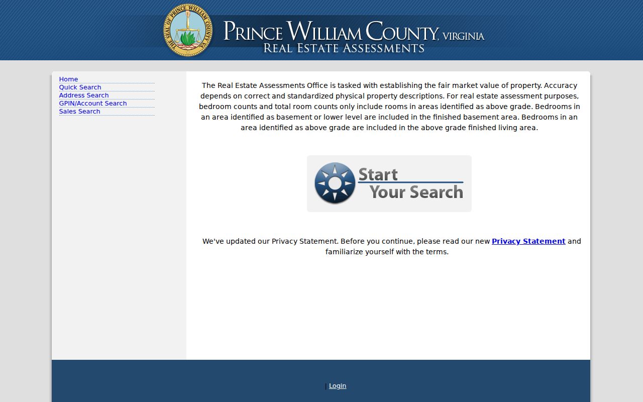
Use the screenshot to recognize the official navigation, then capture only the fields shown for the queried parcel. Sales Search may help locate transaction context, but a parcel result is not a substitute for the recorded deed and does not establish current residency.
Browse Buckhall Street Parcels
County Mapper can zoom to a result, highlight it, remove it, list adjoining parcels, and open More Info for schools and voting-precinct or polling-place information. Its available layers include land records, land development, public services, service areas, environment, utilities, contours, basemaps, and aerial imagery. These tools help organize a road-side parcel review without turning a viewer result into proof of a person's current presence.
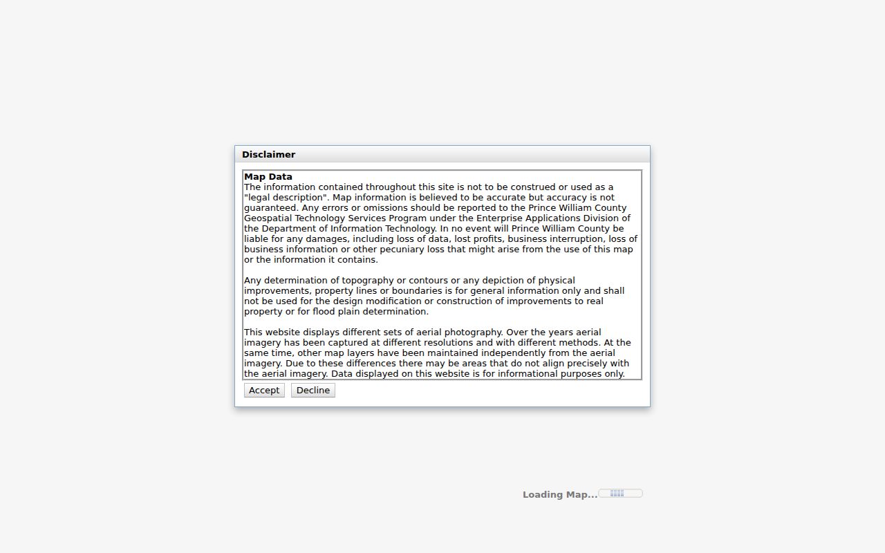
The image shows the county's parcel-viewer controls. Use the same GPIN from the assessment record, keep the query date, and read the county disclaimer before relying on geometry near a line or aerial image.
Note: A County Mapper school or precinct result supplies geographic context, not proof of enrollment, voting activity, or an address boundary.
Trace Buckhall Street Deeds
The Circuit Court Clerk's online land-record coverage reaches deeds and related land records from 1918 to the present. Begin with the present parcel's owner of record and legal description, then search the index by grantor and grantee. A grantor transfers an interest. A grantee receives it. Confirm a candidate with the book and page or reference number, recording date, legal description, and any prior-deed reference. A plat is the recorded drawing that can resolve a subdivision, road, easement, or lot geometry question.
The Clerk's online route has a free index. Occasional users can purchase images for $0.50 per image plus a $2 convenience fee; LRMS remote access is an annual $240 subscription. The Clerk also provides in-person research and copy routes through the Public Service Center, Room 305, at the Judicial Center. For earlier chains, use the Historic Document Room, HOP, RELIC, and Library of Virginia microfilm rather than treating a post-1918 online miss as a missing deed.
Check Buckhall Street Precinct Context
County Mapper's More Info path can connect a parcel with a voting precinct or polling place. The official election map places the Buckhall precinct in Coles District and identifies Buckhall United Methodist Church as the polling location. That is useful civic context after an address is normalized, but a precinct is not a parcel boundary and the poll site is not proof of where a person lives.
For an individual's own registration, polling place, district, absentee status, or voting history, use the Virginia Citizen Portal. Virginia restricts voter-file access and protects Social Security information, some addresses, and parts of birth-date and registration data. The statutory SBE-407 route is for authorized voter-list requests with a stated purpose and certification, not a street-wide resident search.
Read Buckhall Street Criss-Cross Records
Regional material is the historical companion to a modern Buckhall address search. RELIC's Roots guide identifies Manassas-area city directories for 1960 through 1983 and 2001, regional directories for 1963 through 1980, and several telephone-directory runs from 1903 through 1980-current. The research did not find a named Buckhall-only reverse-volume run or a verified Buckhall sample entry. Ask RELIC staff to search the regional shelves or catalog, then verify any address heading against the parcel and year.
- Parcel
- A defined piece of land used by the county for assessment and mapping. Its GPIN is a county research key.
- Situs address
- The physical property address. It can differ from the owner's mailing address and from an older route label.
- Plat
- A recorded land drawing used to describe lots, easements, roads, or subdivision geometry.
- Criss-cross directory
- An address-arranged directory format that can place names under an address heading for its publication year.
Historic routes deserve special care. RELIC's 1923 Rural Delivery Routes map can explain why a family appears under a route or post-office label instead of a modern street number. Compare it with the 1933 highway map, 1962 county map, Street Directory, present County Mapper, and legal description.
Note: Treat a directory listing as a dated lead and preserve its volume, page, year, spelling, and address heading before comparing it with formal records.
Buckhall Street Search Limits
Address research has clear boundaries. Public parcel records identify land and an owner of record, not every person connected to an address. A county viewer is not a survey. Historic directories are snapshots. Virginia's Address Confidentiality Program protects eligible people through a designated address and mail-forwarding system. Do not try to infer or republish an actual protected address. Court, voter, vital, and public-safety records have separate disclosure rules and should not be merged merely because a name or ZIP matches.
When the online trail stops, use the source that keeps the record. The county accepts FOIA requests through mail, fax, email, in person, or phone for existing county records, with reasonable specificity and possible actual charges. Clerk records use their own copy or research route. County staff, the Clerk, RELIC, and the Historic Document Room provide counter, phone, email, mail, and research alternatives when a web result is incomplete.
Lawful personal use. Use Buckhall street and address records for legitimate personal research, family history, estate questions, or civic context. Never use an address trail to stalk, harass, intimidate, or harm anyone.