
Buckhall Previous Residents by Era
A Buckhall address sits in Prince William County, not a separate city records system. The most dependable trail begins with a parcel’s present county identity and moves back through the source that fits the period. Recorded land material can establish ownership. Regional directories and telephone books can suggest a household at an address. Local-news, funeral, and probate material can add later family context, but none of those sources alone proves continuous occupancy. The table separates the available eras before names are compared.
| Source | Years It Covers | Where Held | What It Shows |
|---|---|---|---|
| Circuit Clerk deeds and plats | 1918 to present | Prince William County Circuit Court Clerk | Recorded parties, dates, references, legal descriptions, and available images |
| Historic deed and archive route | Earlier than the online baseline | HOP and Historic Document Room, RELIC, and Library of Virginia microfilm | Older deed, probate, map, and genealogy paths |
| Manassas-area directories | 1960–83 and 2001 | RELIC regional collection | Regional household and address leads needing parcel verification |
| Telephone directories | 1903; 1941; 1951; 1958–59; 1966–71; 1973; 1975; 1977–78; 1980 to current | RELIC, Reliquary, and library research routes | Regional communications and address-era clues |
| RELIC Local News Index | 1993 forward, with some obituaries from 1970 | RELIC volunteers and local-history collection | Local news and obituary leads, with work-in-progress limits |
Use the deed index first when the question is ownership. Use directories, census schedules, newspapers, and family files after the address and era have been normalized. No Buckhall-only city-directory run was identified, so regional entries require a check against the address, ZIP range, and county parcel record.
Note: A Manassas mailing label does not make a Buckhall parcel part of the City of Manassas.
Buckhall Previous Residents Start with GPIN
For a modern address, use Prince William County Real Estate Assessments to locate the parcel card. PublicAccessNow separates Quick Search, Address Search, GPIN/Account Search, and Sales Search. Record the property address, owner-of-record display, legal description, GPIN or account number, assessment year, map link, and the source date. The owner’s mailing address, if displayed, is a different field from the property address and should stay separate in notes.
The GPIN is the county’s ten-digit parcel identifier, arranged in a proprietary grid. It is more stable than a street label when an old instrument uses a lot reference, rural route, subdivision description, or older road form. Use County Mapper to match that identifier with the parcel geometry and present address. County Mapper is informational only. Its lines may not align with aerial imagery, and it is not a legal survey or legal description.
- GPIN
- A Prince William County parcel identifier that helps join the assessment card, map result, and property research.
- Situs address
- The physical property address used for the parcel. It can differ from an owner mailing address.
- Legal description
- The recorded lot, parcel, subdivision, or boundary description that identifies land even when a street address changes.
Trace Buckhall Previous Residents Through Deeds
The deed chain is an ownership trail, not a list of everyone who lived at an address. After the current parcel card provides a legal description and GPIN, use the Circuit Court Clerk’s Online Records Access to search recorded parties. Deeds and related land records, along with plats, are indexed and imaged online from 1918 to the present. Preserve the party role because a name alone does not explain whether someone transferred or received an interest.
- Capture the current property address, GPIN, legal description, and owner-of-record from the assessment route.
- Find the most recent recorded purchase or transfer and record the grantor, grantee, recording date, book and page or document reference, and legal description.
- Use the prior holder’s name as a grantee search to locate that earlier acquisition, then compare the lot or parcel language before treating it as the same land.
- Repeat the pattern backward, preserving each source date and any prior-deed reference printed in the instrument.
- Use plats when a subdivision, road, easement, or lot change interrupts the address trail.
- When the chain reaches the online boundary, shift to HOP, the Historic Document Room, RELIC, and Library of Virginia microfilm rather than calling the chain complete.
- Grantor
- The party conveying an interest in property.
- Grantee
- The party receiving an interest in property.
- Chain of title
- The sequence of recorded transfers used to follow an ownership interest through time.
- Plat
- A recorded map that can clarify lot lines, road names, easements, and subdivision layout.
Occasional index use is free, while the Clerk publishes a $0.50-per-image charge plus a $2 convenience fee for an online image purchase. The published LRMS remote-subscription route is $240 per year. Public research and copies are also available through the Circuit Clerk’s Public Service Center, subject to exclusions for adoption, juvenile, sealed, and other restricted records.
Buckhall Previous Residents Before 1918
An online negative before 1918 is an access limit, not proof that the family or transfer was absent. The Clerk directs earlier research toward its Historic Document Room and HOP, while RELIC and the Library of Virginia provide additional microfilm, index, map, and genealogy routes. Prince William County history also carries a serious caution: the Library of Virginia notes losses, destruction, or theft of many pre-Civil War county records during 1863 troop activity. Compare surviving series instead of forcing a missing entry into a conclusion.
The Circuit Clerk’s research route is the source of the image below.
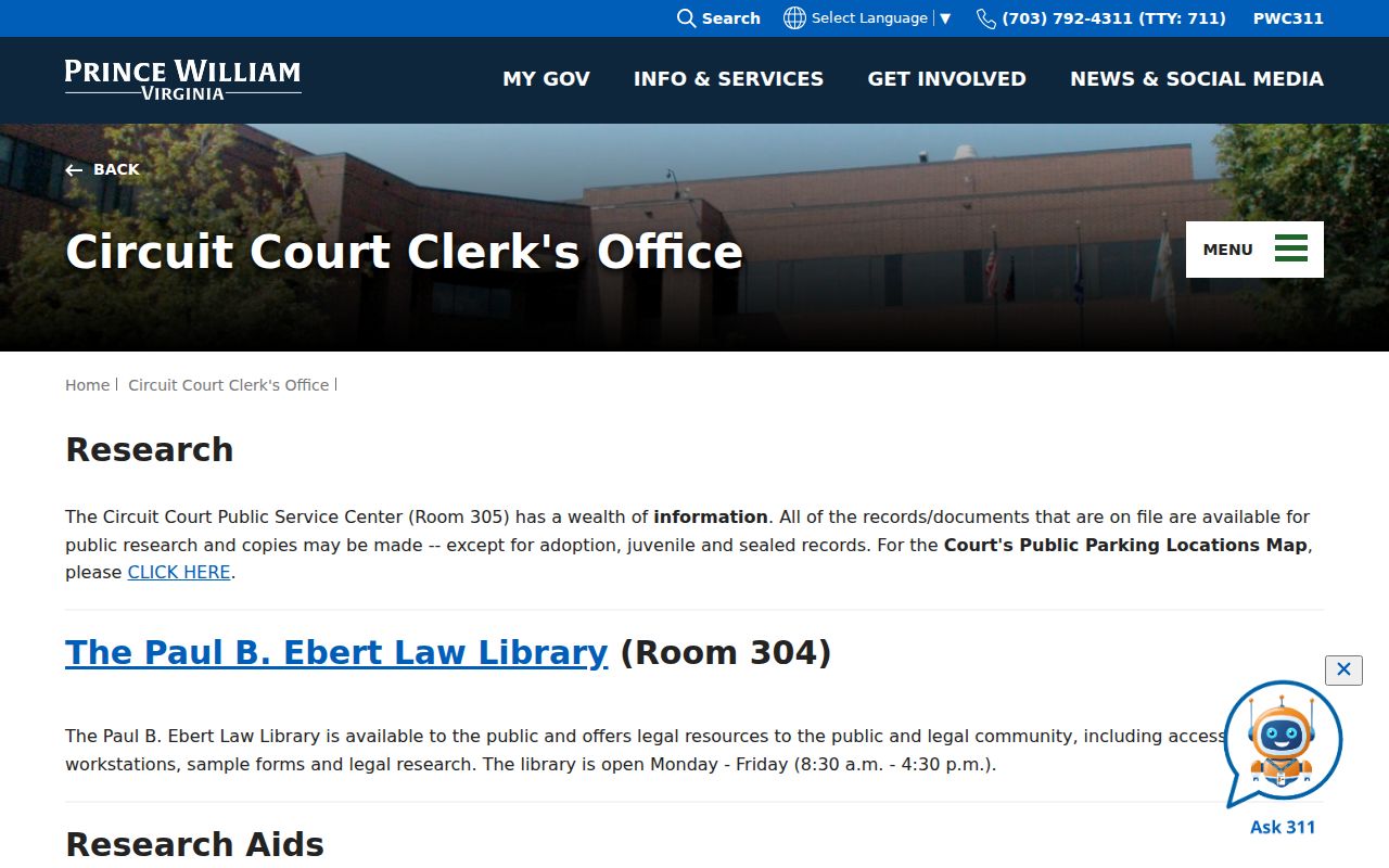
The research route points a house-history search toward the Clerk’s archival resources when an online land-record search cannot reach the needed era.
Do not silently merge Buckhall and Buckland. Buckland is a separate historic place near the Fauquier County line. For a historical deed, preserve the county and geographic description as written, especially where the county’s earlier boundaries changed or a predecessor geography could apply.
Note: A missing early index entry may reflect record loss, changing geography, or incomplete digitization rather than a missing household.
Buckhall Past Residents in Directories and Census
Ownership is only one layer of a house history. RELIC holds regional Manassas-area directories for 1960–83 and 2001, regional directory volumes for several nearby communities from 1963–80, and several telephone-directory runs beginning in 1903. Those are regional collections, not a Buckhall-only resident list. A matching entry becomes stronger when its street form, mailing ZIP, county parcel, and date agree. The historical shelf itself is described in the Buckhall city directory collections.
Pair a directory or telephone-book date with the relevant federal census schedule available through the library’s research resources. Census material provides household context, while a directory can narrow an address-era question between census dates. Keep the collection title, volume or image reference, coverage year, and source date with the result. A database hit should be compared with the underlying county or state record where possible.
- Criss-cross directory
- A reverse directory arranged by street or address. No named Buckhall-specific run was located, so ask RELIC about regional holdings.
- Enumeration district
- A census geography that helps keep a household comparison tied to the correct place and census year.
- Normalize the historic street name in the county Street Directory and retain its suffix or directional form.
- Locate the closest regional directory or telephone run and transcribe the address exactly as printed.
- Compare it with the census schedule for household context, rather than assuming a shared surname means the same person.
- Return to the parcel record and deed chain to test whether the address and legal land identity still align.
Buckhall Previous Residents and Rural Routes
Historic address drift is common in Buckhall. A family can appear under a rural route, an older road label, a later street number, or a Manassas postal label while remaining tied to the same general place. RELIC’s 1923 Rural Delivery Routes map is a useful bridge for that problem. The collection also includes the 1901 county map, 1933 highway map, 1962 county map, 1937 aerial material, tax lists, early deed and people indexes, newspapers, photographs, and yearbooks.
Maps help establish context, not a legal boundary. Check a landmark or road reference against County Mapper and the legal description in a deed. The Buckhall Oral History Project can offer a farm, school, church, store, road, or community-memory anchor, but an oral-history recollection needs independent confirmation from a map, newspaper, tax list, directory, or recorded instrument.
The 1903 Manassas and Dumfries Telephone Company material and later regional telephone directories provide another time-specific clue. They can explain a regional connection but do not establish a modern address or a present household.
Buckhall Previous Residents at Trail Endpoints
When a deed chain or directory entry reaches a gap, use a record that fits the question rather than expanding the search at random. The County ePortal makes public permit, plan, and inspection material available for viewing or download and can separate land history from later improvement history. Permit material may help date construction, remodeling, demolition, or an address-development change. It does not establish who lived at the address.
For household context, RELIC offers a Local News Index, funeral-home records, church and cemetery materials, family files, yearbooks, and digital archives. The Local News Index covers Prince William newspapers from 1993 forward, with some obituaries from 1970, and is a work in progress. Probate and fiduciary material can also connect an estate to a recorded party, though the Clerk’s published online fiduciary coverage begins in 1981. Treat an obituary, a probate reference, and a deed as separate evidence with separate limits.
Keep a field-ready record of the source URL, custodian, query date, exact search string, result identifier, geography type, access condition, and exclusion note. That record makes a negative result reproducible and helps distinguish a changed address from a changed household.
Note: Improvement records can date work on a parcel, but they do not prove that a named person occupied it.
Privacy Limits for Buckhall Previous Residents
Recorded ownership, a regional directory entry, and a mailing address are not interchangeable proof of occupancy or a current way to contact anyone. Virginia’s Address Confidentiality Program can substitute a designated address for an eligible person’s actual address. Voter information has protected fields and list-access restrictions. Vital records have confidentiality and eligibility limits. Juvenile, adoption, sealed, and other restricted court or clerk material is excluded from ordinary public access.
Lawful use. Use Buckhall house-history and family-history records for personal, lawful research. Do not use historic or current address material to follow, intimidate, harass, or harm a living person. Virginia law addresses stalking and computer-based harassment in Va. Code §§18.2-60.3 and 18.2-152.7:1.
If a public record needs correction, contact the custodian that holds it. Assessment matters go through Real Estate Assessments, and clerk-held document questions go through the Circuit Clerk’s copy or research route. Virginia FOIA applies to existing county records with reasonable specificity, but it does not override record-specific confidentiality laws.